 The Itinerary
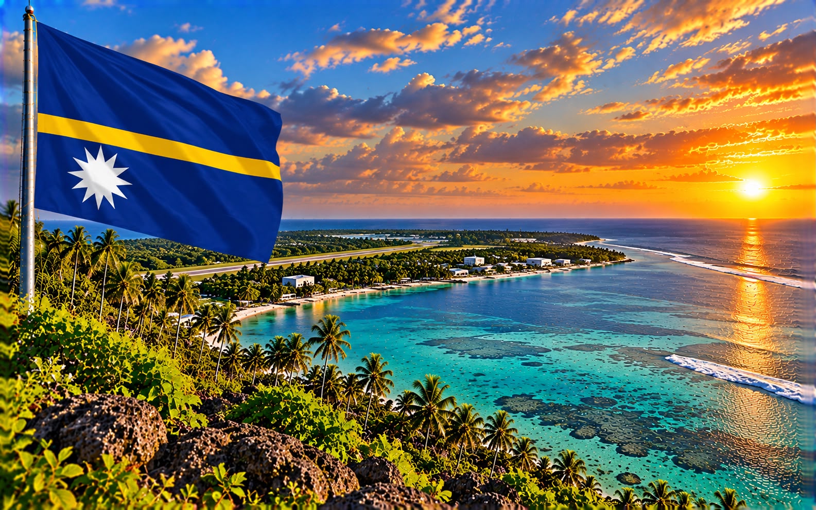
Nauru in 4 days: Topside, Command Ridge and the smallest republic
Twenty-one square kilometres, one road, and an interior of limestone pinnacles left behind when the phosphate that made it briefly one of the richest countries on earth was dug out and shipped away.
- Pacific Islands
- 4 days
- ≈ AED 1,750 / person
- Seeing what a century of strip mining does to an island, from the island itself
Before you go
Nauru is 21 square kilometres, has about 12,000 people, and is the third-smallest country in the world. One road runs 19 kilometres around the coast and you can drive it in half an hour.
Four days is generous. This guide does not pretend otherwise, and anyone telling you to spend a week here is selling something.
What makes it worth the stop is that Nauru is the clearest object lesson available anywhere in what resource extraction does to a place. The island sat under millennia of seabird guano that became high-grade phosphate rock. Germany, then Britain, Australia and New Zealand, then Nauru itself, dug it out and shipped it to fertilise farms in Australia and beyond.
Around eighty per cent of the island’s interior was destroyed. What is left is “Topside” — a plateau of coral limestone pinnacles, some several metres high, standing in rows where the phosphate between them was removed. It is a landscape with no real equivalent, and it is most of the country.
For a period in the 1970s and 80s, Nauru had among the highest GDP per head in the world. The trust funds that were meant to outlast the phosphate were mismanaged and lost. The island now depends heavily on hosting an Australian immigration processing centre and on fishing licences.
Four days. Figure AUD 700 (≈ AED 1,766) per person excluding flights. Any time of year; it is equatorial and hot throughout, with more rain November to February.
Before you go: the 15-minute admin
Getting there, and the visa
- Nauru Airlines is effectively the only way in — from Brisbane, usually via Honiara, and connecting onward to Tarawa, Majuro and Pohnpei.
- A few flights a week. Miss one and you wait.
- Nauru is on the Brisbane–Tarawa–Majuro routing, which is exactly why most visitors come: it is a stopover on the way somewhere else, and that is a sensible way to see it.
- A visa is required in advance for most nationalities, applied for through the Nauru government, and you will generally need a sponsor or a confirmed hotel booking. Allow weeks, not days, and start by emailing the immigration office.
- The tourist visa is a different thing from the media visa, which is notoriously expensive and non-refundable. Do not describe yourself as a journalist unless you are one and have applied as one.
What not to photograph
- Do not photograph the Regional Processing Centre, its vehicles or its staff. This is the most sensitive thing on the island and the one most likely to cause you trouble.
- Do not photograph government buildings, the airport or police without asking.
- Ask before photographing people. The island is small, everyone knows everyone, and visitors with cameras have a mixed history here.
Money and supplies
- The currency is the Australian dollar.
- Bring cash. There is a bank but ATM access has been unreliable for years and card acceptance is minimal.
- Almost everything is imported and the shops are limited. Food is expensive and choice is narrow.
- Bring anything you cannot do without, including medication.
Getting around
- Hire a car — there are a handful of operators and your hotel will arrange one. The ring road is 19 kilometres and in reasonable condition.
- Topside tracks are rough; a high-clearance vehicle helps.
- It is hot and there is very little shade. Do not plan to walk far in the middle of the day.
Travelling with kids?
- There is very little to do and limited medical care.
- Anibare Bay is the one proper beach.
- This is a trip for the curious rather than a holiday.
Day by day
Day 1 — Yaren and the coast
- Arrive. The airport is at Yaren, which functions as the capital although Nauru does not formally have one — the runway runs almost the width of the island.
- Afternoon — Drive the ring road, which takes half an hour without stopping and should take two with.
- The Japanese wartime relics are all along it: pillboxes, anti-aircraft guns and bunkers from the occupation of 1942–45, when Nauru was cut off and bombed, and around 1,200 Nauruans were deported to Chuuk, where many died.
- Evening — The west coast for sunset, which is the best of the island.
Where to stay (three nights)
- The options are very few: the Menen Hotel on the east coast and a small number of guesthouses. Book before you fly — this is not a place to improvise.
Day 2 — Command Ridge and Topside
- Morning — Command Ridge, the island’s highest point at about 65 metres, and the Japanese command post on it: a two-barrelled anti-aircraft gun, still trainable, and a communications bunker you can walk into.
- The view from the ridge is the whole point — you see the entire island at once, and you see Topside spread out below: the mined interior, white limestone pinnacles in ranks, with the green rim of coastal land around the edge where everyone lives.
- Midday — Into Topside itself. Walking among the pinnacles is unsettling in a way photographs do not convey. Secondary mining continues in places; keep out of working areas and watch your footing — there are deep voids between the pinnacles.
- Afternoon — The phosphate cantilevers on the west coast, the loading arms that swung out over ships moored offshore. Several are derelict and they are the most photographed structures on the island.
Day 3 — Buada, the caves and the sea
- Morning — Buada Lagoon, the island’s one inland body of water: a brackish lake in a depression, ringed with coconut palms and houses, and the only part of the interior that looks like the Pacific anyone pictures.
- Midday — Moqua Well and the Moqua Caves in the south-east — an underground freshwater lake in a limestone cavern, which was the island’s water supply of last resort during the war. Access needs permission and a guide; it is not signposted.
- Afternoon — Anibare Bay, the best beach, with a harbour built into the reef. The surf and the reef edge are dangerous; swim where locals do and not alone.
- Evening — The Menen or the Chinese restaurants, which is essentially the eating out available.
Day 4 — Out
- Morning — Last drive round, and the Nauru Museum collection if it is accessible — the holdings have moved and are not always on display.
- Fly out. Confirm the day before; the schedule moves.
Costs and practicalities
Best time to visit
It is equatorial and hot throughout, so the season is a matter of rain rather than temperature — around 30°C in every month.
- March–October — the drier half of the year, with steadier southeast trades. The better window for walking Topside and for the coastal road.
- November–February — the wetter monsoon months, with heavier downpours. Rainfall here is highly variable year to year and El Niño can swing it dramatically.
- The sea is warm all year and the drop-off beyond the reef is close in, which makes the diving good whenever the weather allows.
The flight schedule matters far more than the season. Nauru Airlines runs a limited rotation and the day you can arrive and the day you can leave are fixed by it.
Travel tips
- Check visa requirements early and in detail. Nauru’s tourist visa process is unusual, often requires prior approval, and is not something to leave until the last week.
- Flights are infrequent. Nauru Airlines from Brisbane via Honiara or Tarawa, a few times a week; the length of your stay is decided by the timetable, not by you.
- Accommodation is extremely limited — a handful of options. Book before you book the flight.
- The Australian dollar is the currency. Bring cash; card acceptance is minimal and ATMs unreliable.
- Topside — the mined-out interior — is a moonscape of limestone pinnacles and the island’s defining sight. It is sharp, hot and shadeless; wear proper shoes and go early.
- Be careful photographing the regional processing centre or anything official. This is sensitive and has caused problems for visitors.
- There is one road around the island, about 19km, and you can drive it in half an hour.
What this trip actually costs
Two people, 3 nights, flights excluded:
| Item | Cost |
|---|---|
| Hotel, 3 nights | AUD 600 (≈ AED 1,514) |
| Car hire, 3 days, and fuel | AUD 300 (≈ AED 757) |
| Food and drink, 4 days | AUD 400 (≈ AED 1,009) |
| Guide, permissions, entries | AUD 100 (≈ AED 252) |
| Total for two | AUD 1,400 (≈ AED 3,532) |
- Roughly AUD 700 (≈ AED 1,766) per person on the ground, which is modest — the flights are the cost, and there are very few of them.
- Accommodation choice is the constraint, not the price. Book well ahead.
- Food is expensive and limited. Bring what you care about.
- The visa may involve a fee and a sponsor. Factor in the lead time more than the money.
- Hotel picks here are chosen on location, not on commission — always check prices and recent reviews before booking.
What to pack
- Australian dollars in cash, enough for the whole stay.
- Any medication you need, plus a basic first-aid kit.
- Sun protection and a hat — Topside has no shade whatsoever.
- Sturdy shoes for the pinnacles, which are sharp limestone with voids between them.
- Reef shoes for Anibare.
- Patience with the schedule, which is the real requirement.
FAQ
Is Nauru worth visiting? That is a fair question and the honest answer is: as a two- or three-day stop on the Brisbane–Tarawa–Majuro routing, yes, if the history of phosphate and the Pacific interests you. As a destination in its own right, for most people, no. The guide is built around the stopover for that reason.
Can I visit the processing centre? No, and do not photograph it, its vehicles or its staff. It is the most sensitive subject on the island.
How hard is the visa? Harder than most. Most nationalities need one in advance, usually with a confirmed booking or a sponsor, and processing takes weeks. Start early and deal with the immigration office directly.
What is Topside actually like? A plateau of coral limestone pinnacles standing where the phosphate between them was removed, covering most of the island’s interior. It is genuinely unlike anywhere else and it is the reason to come.
What language do they speak? Nauruan and English, both official. English is widely spoken.
Prices and entry rules change, and what you need depends on your passport; last checked 8 October 2026, so confirm with the embassy or your airline before booking.


